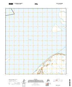
2020 Map of Black C-1 SE
USGS Topo · Published 2020About this map
The waters of the Bering Sea dominate this coastal landscape, where a network of tidal channels and passes dissects the low-lying shoreline. This 2020 topographic record of the Kusilvak Census Area reveals a complex aquatic environment where the Kutnuknuk Channel and Acharon Channel facilitate the movement of water through the coastal marshlands. The presence of Flat Island in the northeast corner serves as a primary landmark in an otherwise fluid terrain of shifting silt and tides.
Find a feature on this map
9 named features on this map. Tap any name to fly to it.
Don’t see what you’re looking for? This feature index may not catch every label — zoom into the map to look around manually.
Map Details
Editions of this 2020 Black C-1 SE Map
This is the sole edition of this map. No revisions or reprints were ever made.
Other maps of this area

1951 · Black
USGS Topo · 1:250,000

1952 · Kwiguk
USGS Topo · 1:250,000
1952 · Black C-1
USGS Topo · 1:63,360

1952 · Black B-1
USGS Topo · 1:63,360

1952 · Kwiguk C-6
USGS Topo · 1:63,360

1952 · Kwiguk B-6
USGS Topo · 1:63,360
2020 · Kwiguk C-6 SW
USGS Topo · 1:25,000
2020 · Kwiguk B-6 NW
USGS Topo · 1:25,000
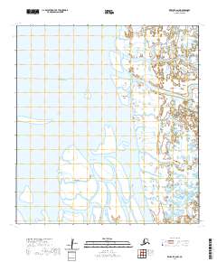
2020 · Kwiguk C-6 NW
USGS Topo · 1:25,000
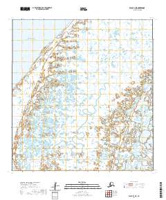
2020 · Black B-1 NE
USGS Topo · 1:25,000