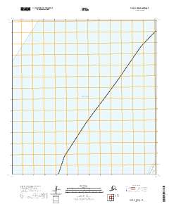
2020 Map of Black B-1 OE W SE
USGS Topo · Published 2020About this map
The Bering Sea dominates this coastal landscape in the Kusilvak Census Area, where the Pacific and Arctic waters meet along the Alaskan shoreline. This 2020 survey illustrates a primarily maritime environment, defined by the vast open water and the formal grid of the Public Land Survey System within T25n R88w. The map depicts a singular point of land at its southeastern edge, marking a transition between the deep water and the coastal marshes and wetlands typical of this subarctic region. While mostly characterized by sea, the inclusion of numbered land sections provides a precise framework for understanding this remote part of the Bering coast.
Find a feature on this map
20 named features on this map. Tap any name to fly to it.
Don’t see what you’re looking for? This feature index may not catch every label — zoom into the map to look around manually.
Map Details
Editions of this 2020 Black B-1 OE W SE Map
This is the sole edition of this map. No revisions or reprints were ever made.