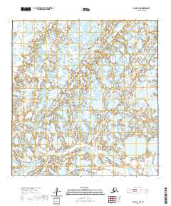
2020 Map of Black A-1 NW
USGS Topo · Published 2020About this map
Popes River winds through this low-lying coastal landscape in the Kusilvak Census Area, where a complex network of waterways defines the terrain. The presence of Melatolik Cr and the Kipniyagok River illustrates a highly saturated environment, characteristic of the Yukon-Kuskokwim Delta. This 2020 map documents the intricate hydrography of the region, showing how smaller tributaries and creeks intersect across the vast wetlands. The absence of permanent road infrastructure or settlements within the quadrangle highlights the maritime and river-based nature of travel and subsistence in this part of Alaska, where the landscape remains largely shaped by seasonal water movement and the shifting courses of its many streams.
Find a feature on this map
7 named features on this map. Tap any name to fly to it.
Don’t see what you’re looking for? This feature index may not catch every label — zoom into the map to look around manually.
Map Details
Editions of this 2020 Black A-1 NW Map
This is the sole edition of this map. No revisions or reprints were ever made.
Other maps of this area

1951 · Black
USGS Topo · 1:250,000

1952 · Black A-2
USGS Topo · 1:63,360

1952 · Black A-1
USGS Topo · 1:63,360

1952 · Black B-1
USGS Topo · 1:63,360
2020 · Black B-1 SW
USGS Topo · 1:25,000
2020 · Black A-1 SW
USGS Topo · 1:25,000
2020 · Black A-1 NE
USGS Topo · 1:25,000
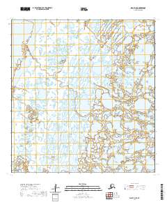
2020 · Black A-2 SE
USGS Topo · 1:25,000
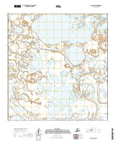
2020 · Black A-1 SE
USGS Topo · 1:25,000
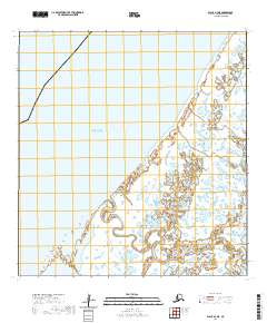
2020 · Black A-2 NE
USGS Topo · 1:25,000