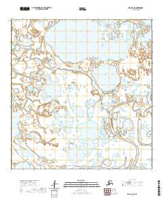
2020 Map of Black A-1 SE
USGS Topo · Published 2020About this map
Melatolik Creek meanders through this portion of the Kusilvak Census Area, defining a landscape dominated by complex hydrography and an expansive network of wetlands. The creek, also labeled as Melatolik Cr in its southern reaches, flows through a series of significant lakes and smaller water bodies that characterize this sub-arctic terrain. The eastern edge of the map is marked by the presence of the Black River, emphasizing the water-centric geography of the region. Surveyed and updated in 2020, the map illustrates the intricate relationship between these major drainages and the surrounding land parcels, providing a precise look at the township and range divisions including t23n r86w and t24n r87w. The absence of developed roads or permanent settlements highlights the wilderness character of the area, where natural waterways remain the primary landmarks for navigation and land management.
Find a feature on this map
9 named features on this map. Tap any name to fly to it.
Don’t see what you’re looking for? This feature index may not catch every label — zoom into the map to look around manually.
Map Details
Editions of this 2020 Black A-1 SE Map
This is the sole edition of this map. No revisions or reprints were ever made.
Other maps of this area

1951 · Marshall
USGS Topo · 1:250,000

1951 · Hooper Bay
USGS Topo · 1:250,000

1951 · Black
USGS Topo · 1:250,000

1952 · Kwiguk
USGS Topo · 1:250,000

1952 · Black A-1
USGS Topo · 1:63,360

1952 · Kwiguk A-6
USGS Topo · 1:63,360
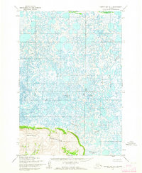
1952 · Hooper Bay D-1
USGS Topo · 1:63,360
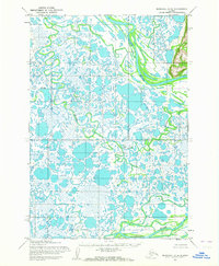
1952 · Marshall D-8
USGS Topo · 1:63,360

1953 · Hooper Bay
USGS Topo · 1:250,000

1954 · Marshall
USGS Topo · 1:250,000