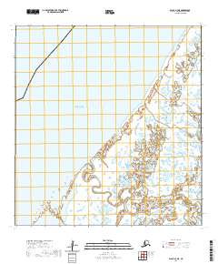
2020 Map of Black A-2 NE
USGS Topo · Published 2020About this map
The Bering Sea dominates the western shoreline of this coastal stretch in the Kusilvak Census Area. This map illustrates a complex deltaic landscape where the mainland meets the sea through a network of small ponds and wetlands. Narrow waterways like Melatolik Creek wind through the terrain, suggesting a dynamic environment shaped by tidal influence and seasonal drainage. The area is defined largely by its hydrological features rather than human infrastructure, as the map shows an absence of roads or established settlements within these particular township boundaries. The grid of the Public Land Survey System, including t24n r89w and t25n r88w, provides the primary framework for locating specific points across this remote coastal plain.
Find a feature on this map
6 named features on this map. Tap any name to fly to it.
Don’t see what you’re looking for? This feature index may not catch every label — zoom into the map to look around manually.
Map Details
Editions of this 2020 Black A-2 NE Map
This is the sole edition of this map. No revisions or reprints were ever made.
Other maps of this area

1951 · Black
USGS Topo · 1:250,000

1952 · Black A-2
USGS Topo · 1:63,360

1952 · Black A-1
USGS Topo · 1:63,360

1952 · Black B-1
USGS Topo · 1:63,360
2020 · Black B-1 SW
USGS Topo · 1:25,000
2020 · Black A-2 SW
USGS Topo · 1:25,000
2020 · Black A-1 SW
USGS Topo · 1:25,000
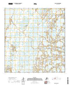
2020 · Black A-2 SE
USGS Topo · 1:25,000
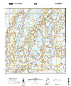
2020 · Black A-1 NW
USGS Topo · 1:25,000
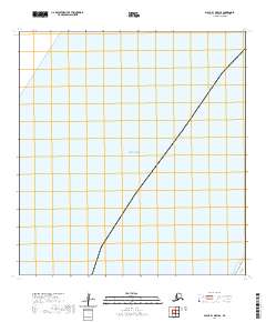
2020 · Black B-1 OE W SE
USGS Topo · 1:25,000