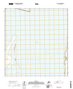
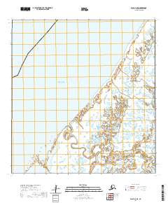
2020 Map of Black A-2 SW
USGS Topo · Published 2020About this map
The Bering Sea dominates this coastal landscape, where the shifting boundaries of land and water define the character of the Kusilvak Census Area. This survey documents the low-lying shoreline and tidal reaches, centered on the fragmented geography of Krekatok Island and the neighboring Sand Islands. These features represent the dynamic nature of the Alaskan coast, where sediment and tides continuously reshape the maritime approach to the mainland.
Find a feature on this map
8 named features on this map. Tap any name to fly to it.
Don’t see what you’re looking for? This feature index may not catch every label — zoom into the map to look around manually.
Map Details
Editions of this 2020 Black A-2 SW Map
This is the sole edition of this map. No revisions or reprints were ever made.
Other maps of this area

1951 · Hooper Bay
USGS Topo · 1:250,000

1951 · Black
USGS Topo · 1:250,000

1952 · Black A-2
USGS Topo · 1:63,360

1952 · Hooper Bay D-2
USGS Topo · 1:63,360

1953 · Hooper Bay
USGS Topo · 1:250,000
1953 · Hooper Bay D-3
USGS Topo · 1:63,360

1964 · Hooper Bay
USGS Topo · 1:250,000
2020 · Black A-2 OE W SE
USGS Topo · 1:25,000
2020 · Black A-2 SE
USGS Topo · 1:25,000
2020 · Black A-2 NE
USGS Topo · 1:25,000