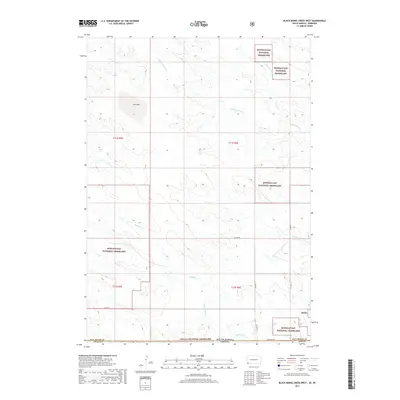
2017 Map of Black Banks Creek West
USGS Topo · Published 2017About this map
Buffalo Gap National Grassland and the Oglala National Grassland dominate this high-plains landscape at the border of South Dakota and Nebraska. The terrain is defined by a dendritic network of drainages, including the headwaters of S Black Banks Cr, N Black Banks Cr, and Medicine Cr, which weave through the vast public lands. This 2017 survey reflects a sparsely populated region where the administrative boundaries of Fall River Co and Dawes Co meet the state line.
Find a feature on this map
20 named features on this map. Tap any name to fly to it.
Don’t see what you’re looking for? This feature index may not catch every label — zoom into the map to look around manually.
Map Details
Editions of this 2017 Black Banks Creek West Map
This is the sole edition of this map. No revisions or reprints were ever made.
Other maps of this area

1896 · Oelrichs
USGS Topo · 1:125,000

1900 · Oelrichs
USGS Topo · 1:125,000

1902 · Edgemont
USGS Topo · 1:125,000

1950 · Heppner
USGS Topo · 1:24,000

1955 · Hot Springs
USGS Topo · 1:250,000

1955 · Alliance
USGS Topo · 1:250,000

1957 · Alliance
USGS Topo · 1:250,000

1958 · Alliance
USGS Topo · 1:250,000

1980 · Wolf Butte
USGS Topo · 1:24,000

1980 · Lone Tree Ranch
USGS Topo · 1:24,000