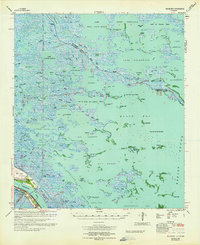
1964 Map of Black Bay
USGS Topo · Published 1964About this map
The marshlands and tidal basins of Plaquemines Parish define this mid-century survey, where the Mississippi River flows past the settlement of Happy Jack. Life here is concentrated along the narrow strip of land following the river, featuring the Our Lady of Lourdes Ch and the historic Bohemia Cem. The landscape is a complex network of bayous and lakes, such as Lake Jean Louis Robin and Lake Cuatro Caballo, that serve as the foundation for the region's resource-based economy.
Find a feature on this map
106 named features on this map. Tap any name to fly to it.
Don’t see what you’re looking for? This feature index may not catch every label — zoom into the map to look around manually.
Map Details
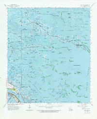
Editions of this 1964 Black Bay Map
2 editions found
Other maps of this area

1891 · Pointe a La Hache
USGS Topo · 1:62,500

1892 · Quarantine
USGS Topo · 1:62,500

1892 · St. Bernard
USGS Topo · 1:62,500

1892 · Pointe a La Hache
USGS Topo · 1:62,500

1893 · La Fortuna
USGS Topo · 1:62,500

1893 · Forts
USGS Topo · 1:62,500

1893 · Shell Beach
USGS Topo · 1:62,500

1893 · Fort Livingston
USGS Topo · 1:62,500

1893 · Dime
USGS Topo · 1:62,500

1895 · Bodreau
USGS Topo · 1:62,500