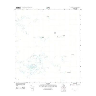
2012 Map of Black Bay South
USGS Topo · Published 2012About this map
West Black Bay Oil and Gas Field anchors the maritime and industrial landscape of this Plaquemines Parish coastal region. The map reveals a complex environment where water and land are in constant flux, characterized by remote landforms such as Lonesome Island and Belle Isle. The infrastructure of the petroleum industry is evident not only in the designated field but also in the support facilities like the West Black Bay Seaplane Base, reflecting how aviation and energy extraction integrated into the Louisiana marshlands by the early 21st century. Numerous named waterways, including Bayou Lost, Whiskey Bay, and Bel Pass Bayou, weave through the fragmentary coastline. This transition zone is further defined by markers like Curfew Point and Telegraph Point, which provide navigational reference for the shifting islands and bays that dominate this part of Black Bay.
Find a feature on this map
15 named features on this map. Tap any name to fly to it.
Don’t see what you’re looking for? This feature index may not catch every label — zoom into the map to look around manually.
Map Details
Editions of this 2012 Black Bay South Map
This is the sole edition of this map. No revisions or reprints were ever made.
Other maps of this area

1892 · Quarantine
USGS Topo · 1:62,500

1893 · La Fortuna
USGS Topo · 1:62,500

1893 · Forts
USGS Topo · 1:62,500

1893 · Dime
USGS Topo · 1:62,500

1935 · Port Sulphur
USGS Topo · 1:31,680

1935 · Lake Athanasio
USGS Topo · 1:31,680

1935 · Lake Calebasse
USGS Topo · 1:31,680

1935 · Tropical Bend
USGS Topo · 1:31,680

1941 · Black Bay
USGS Topo · 1:62,500

1941 · Empire
USGS Topo · 1:62,500