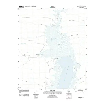
2010 Map of Black Bluffs
USGS Topo · Published 2010About this map
Elephant Butte Reservoir dominates this high-desert landscape in Sierra County, defining the hydrology and shoreline of the Rio Grande corridor. The topography is marked by a complex series of drainage systems, including Alamosa Creek and Monticello Canyon, which feed into the reservoir across prominent landforms such as North Monticello Point and Three Sisters Point. Evidence of local ranching and land use appears through Elkins Ranch and the Chavez Windmill, illustrating the human footprint in this arid environment. The map details a rugged transition from water to plateau, featuring landmarks like the White Cliffs and The Narrows, where the reservoir constricts between the bluffs. Numerous canyons, such as Hellion Canyon and Cottonwood Canyon, underscore the erosion patterns typical of this New Mexico terrain.
Find a feature on this map
35 named features on this map. Tap any name to fly to it.
Don’t see what you’re looking for? This feature index may not catch every label — zoom into the map to look around manually.
Map Details
Editions of this 2010 Black Bluffs Map
This is the sole edition of this map. No revisions or reprints were ever made.
Other maps of this area

1954 · Tularosa
USGS Topo · 1:250,000

1958 · Tularosa
USGS Topo · 1:250,000

1958 · Elephant Butte
USGS Topo · 1:24,000

1959 · Engle
USGS Topo · 1:62,500

1961 · Huerfano Hill
USGS Topo · 1:24,000

1961 · Sierra Fijardo
USGS Topo · 1:24,000

1961 · Black Bluffs
USGS Topo · 1:24,000

1961 · Crocker
USGS Topo · 1:24,000

1961 · Lava
USGS Topo · 1:24,000

1961 · Cuchillo
USGS Topo · 1:24,000