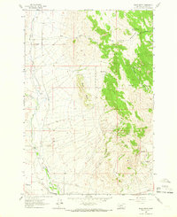
1963 Map of Black Butte
USGS Topo · Published 1966About this map
Whitetail Creek defines the western valley of this Jefferson County landscape, where ranching and irrigation systems like the White Tail Ditch supported early Montana settlements. This 1963 field-checked survey reveals a quiet agricultural and mining corridor on the edge of the Deerlodge National Forest. Genealogists will find the Old Whitehall Cem located near the Whitehall Ranch, providing a specific geographic anchor for local family histories.
Find a feature on this map
31 named features on this map. Tap any name to fly to it.
Don’t see what you’re looking for? This feature index may not catch every label — zoom into the map to look around manually.
Map Details
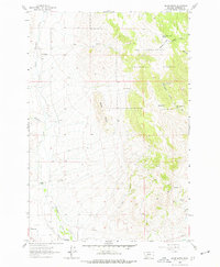
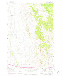
Editions of this 1963 Black Butte Map
3 editions found
Other maps of this area

1886 · Fort Logan
USGS Topo · 1:250,000

1888 · Three Forks
USGS Topo · 1:250,000

1889 · Helena
USGS Topo · 1:250,000

1893 · Helena
USGS Topo · 1:250,000

1893 · Dillon
USGS Topo · 1:250,000

1894 · Three Forks
USGS Topo · 1:250,000

1895 · Three Forks
USGS Topo · 1:250,000

1899 · Boulder
USGS Topo · 1:125,000

1899 · Helena
USGS Topo · 1:250,000

1903 · Helena
USGS Topo · 1:250,000