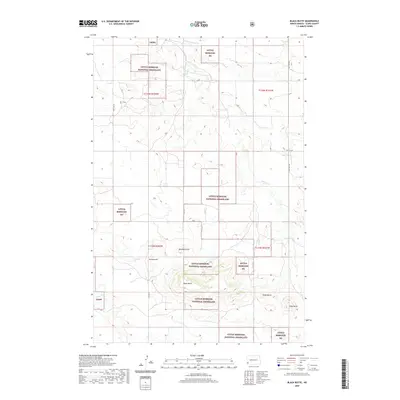
2020 Map of Black Butte
USGS Topo · Published 2020About this map
Little Missouri National Grassland dominates this portion of Slope County, North Dakota, where the High Plains break into complex badlands topography. The map detail highlights the high-elevation promontories that define the regional horizon, including the prominent Black Butte and nearby Tepee Butte. These landforms, along with Slide Butte and Boulder Point, provided essential navigational landmarks for early travelers and cattle ranchers in the western part of the state. The drainage patterns of Sand Creek and Deep Creek carve through the grassland, illustrating the erosional forces that continue to shape this environment. A network of rural routes such as County Road 815 and 150th Avenue SW connect isolated parcels of private and public land within the protected Little Missouri National Grassland boundaries.
Find a feature on this map
19 named features on this map. Tap any name to fly to it.
Don’t see what you’re looking for? This feature index may not catch every label — zoom into the map to look around manually.
Map Details
Editions of this 2020 Black Butte Map
This is the sole edition of this map. No revisions or reprints were ever made.
Other maps of this area

1953 · Dickinson
USGS Topo · 1:250,000

1957 · Dickinson
USGS Topo · 1:250,000

1961 · Rocky Ridge
USGS Topo · 1:62,500

1973 · Black Butte
USGS Topo · 1:24,000

1973 · Amidon SE
USGS Topo · 1:24,000

1973 · Stewart Lake
USGS Topo · 1:24,000

1973 · Amidon
USGS Topo · 1:24,000

1979 · Deep Creek North
USGS Topo · 1:24,000

1980 · Belfield
USGS Topo · 1:100,000

1981 · Bowman
USGS Topo · 1:100,000