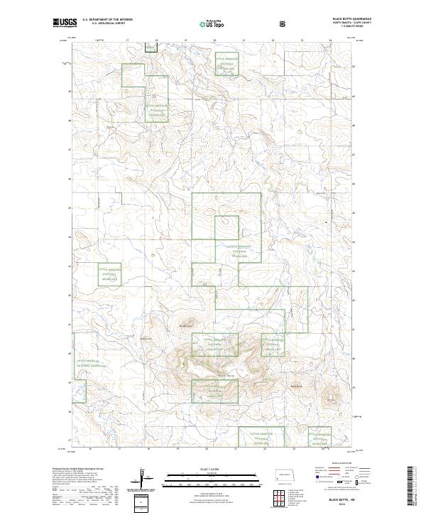
2024 Map of Black Butte
USGS Topo · Published 2024About this map
Little Missouri National Grassland dominates the landscape of this Slope County corner, where the Badlands' complex topography creates a network of ridges and drainages. The map is defined by prominent high points including Black Butte and the distinctively named Tepee Butte and Slide Butte. These features, along with Boulder Point and Browns Hill, serve as critical landmarks in a region where the vast open range is segmented by the Public Land Survey System into townships like t134n r102w and t134n r101w.
Find a feature on this map
16 named features on this map. Tap any name to fly to it.
Don’t see what you’re looking for? This feature index may not catch every label — zoom into the map to look around manually.
Map Details
Editions of this 2024 Black Butte Map
This is the sole edition of this map. No revisions or reprints were ever made.
Other maps of this area

1953 · Dickinson
USGS Topo · 1:250,000

1957 · Dickinson
USGS Topo · 1:250,000

1961 · Rocky Ridge
USGS Topo · 1:62,500

1973 · Black Butte
USGS Topo · 1:24,000

1973 · Amidon SE
USGS Topo · 1:24,000

1973 · Stewart Lake
USGS Topo · 1:24,000

1973 · Amidon
USGS Topo · 1:24,000

1979 · Deep Creek North
USGS Topo · 1:24,000

1980 · Belfield
USGS Topo · 1:100,000

1981 · Bowman
USGS Topo · 1:100,000