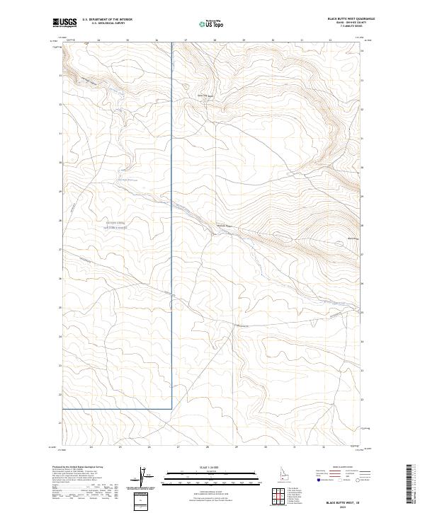
2023 Map of Black Butte West
USGS Topo · Published 2023About this map
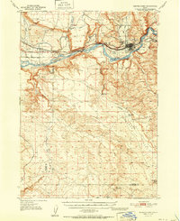
Saylor Creek Air Force Range occupies a significant portion of this high-desert landscape in Owyhee County, illustrating the intersection of military land use and the arid geography of the Bruneau Desert. The topography is defined by volcanic features, most notably Black Butte and Sailor Cap Butte, which rise above the surrounding plains. Water management in this dry environment is evidenced by the Pot Hole Reservoir and the drainage of Pot Hole Creek, which flows through Pot Hole Canyon. Local transportation is facilitated by thoroughfares such as Pothole Rd and Castleford Rd, connecting these remote landforms. This 2023 survey provides a clear view of how these natural features and modern military boundaries coexist within the sparse high-desert terrain.
Find a feature on this map
14 named features on this map. Tap any name to fly to it.
Don’t see what you’re looking for? This feature index may not catch every label — zoom into the map to look around manually.
Map Details
Editions of this 2023 Black Butte West Map
This is the sole edition of this map. No revisions or reprints were ever made.
Other maps of this area

1948 · Indian Cove
USGS Topo · 1:62,500

1948 · Glenns Ferry
USGS Topo · 1:62,500

1948 · Pence Butte
USGS Topo · 1:24,000

1948 · Grindstone Butte
USGS Topo · 1:24,000
1949 · Pot Hole Canyon
USGS Topo · 1:24,000
1949 · Grindstone Butte
USGS Topo · 1:24,000
1949 · Pence Butte
USGS Topo · 1:24,000
1951 · Glenns Ferry
USGS Topo · 1:62,500

1955 · Twin Falls
USGS Topo · 1:250,000

1956 · Blue Butte
USGS Topo · 1:62,500