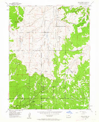
1954 Map of Black Forest
USGS Topo · Published 1963About this map
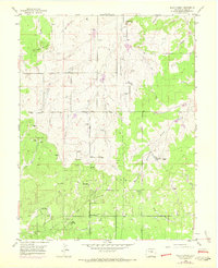
Black Forest covers the southern half of this landscape, where the dense timber begins to give way to the headwaters of numerous plains-bound creeks. The area is characterized by a mix of early 1950s ranching operations and emerging community spaces, such as the Brentwood Country Club and the Black Forest Recreation Area. A network of early thoroughfares like Templeton Gap Road and Shoup Road connects the scattered homesteads and educational centers like the Black Forest School.
Find a feature on this map
32 named features on this map. Tap any name to fly to it.
Don’t see what you’re looking for? This feature index may not catch every label — zoom into the map to look around manually.
Map Details
Editions of this 1954 Black Forest Map
8 editions found
Other maps of this area

1893 · Colorado Springs
USGS Topo · 1:125,000

1894 · Castle Rock
USGS Topo · 1:125,000

1909 · Colorado Springs
USGS Topo · 1:125,000

1913 · Castle Rock
USGS Topo · 1:125,000

1940 · Elbert
USGS Topo · 1:62,500

1942 · Colorado Springs
USGS Topo · 1:125,000

1944 · Elbert
USGS Topo · 1:62,500

1948 · Falcon
USGS Topo · 1:24,000

1948 · Colorado Springs
USGS Topo · 1:62,500

1948 · Pikeview
USGS Topo · 1:24,000