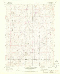
1954 Map of Black Forest
USGS Topo · Published 1971About this map
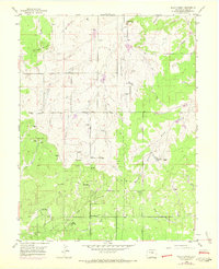
The Black Forest of Colorado is depicted here during a period of mid-century growth and transition, showing the sprawling landscape north of Colorado Springs as it appeared in the 1950s with updates into the late 1960s. The map illustrates a high-altitude plateau defined by the headwaters of numerous drainages, including East Cherry Creek and Black Squirrel Creek. Settlement patterns are distinctly rural, characterized by large ranching operations like the Old Bar X Ranch and Pine Cone Ranch, alongside newer community landmarks such as the Brentwood Country Club and the Black Forest School. The map captures the area's development as a retreat and residential enclave, evidenced by the presence of La Foret (Church Camp) and the Black Forest Recreation Area. Notable infrastructure of the era includes a Television Relay Station and a prominent Pipe Line corridor, while the underlying terrain is marked by geological features like Spruce Hill and the prominent Table Rock summit.
Find a feature on this map
32 named features on this map. Tap any name to fly to it.
Don’t see what you’re looking for? This feature index may not catch every label — zoom into the map to look around manually.
Map Details
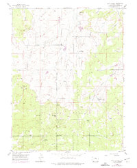
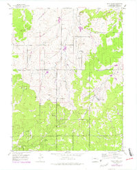
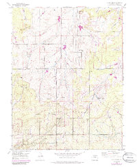
Editions of this 1954 Black Forest Map
8 editions found
Other maps of this area

1893 · Colorado Springs
USGS Topo · 1:125,000

1894 · Castle Rock
USGS Topo · 1:125,000

1909 · Colorado Springs
USGS Topo · 1:125,000

1913 · Castle Rock
USGS Topo · 1:125,000

1940 · Elbert
USGS Topo · 1:62,500

1942 · Colorado Springs
USGS Topo · 1:125,000

1944 · Elbert
USGS Topo · 1:62,500

1948 · Falcon
USGS Topo · 1:24,000

1948 · Colorado Springs
USGS Topo · 1:62,500

1948 · Pikeview
USGS Topo · 1:24,000