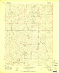
1954 Map of Black Forest
USGS Topo · Published 1955About this map
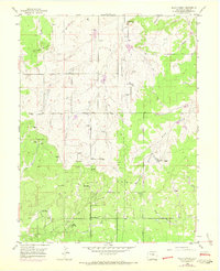
Black Forest covers much of this high-altitude landscape in the mid-1950s, a period when the area maintained a rural, ranch-heavy character before modern suburban expansion. The terrain is defined by a series of prominent rises such as Spruce Hill and Table Rock, providing the headwaters for several drainage systems including East Cherry Creek and Black Squirrel Creek.
Find a feature on this map
25 named features on this map. Tap any name to fly to it.
Don’t see what you’re looking for? This feature index may not catch every label — zoom into the map to look around manually.
Map Details
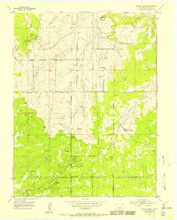
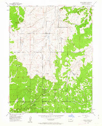
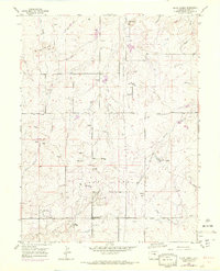
Editions of this 1954 Black Forest Map
8 editions found
Other maps of this area

1893 · Colorado Springs
USGS Topo · 1:125,000

1894 · Castle Rock
USGS Topo · 1:125,000

1909 · Colorado Springs
USGS Topo · 1:125,000

1913 · Castle Rock
USGS Topo · 1:125,000

1940 · Elbert
USGS Topo · 1:62,500

1942 · Colorado Springs
USGS Topo · 1:125,000

1944 · Elbert
USGS Topo · 1:62,500

1948 · Falcon
USGS Topo · 1:24,000

1948 · Colorado Springs
USGS Topo · 1:62,500

1948 · Pikeview
USGS Topo · 1:24,000