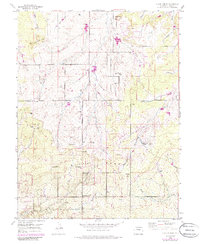
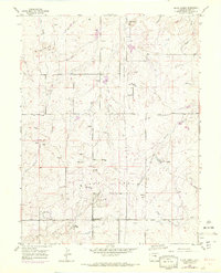
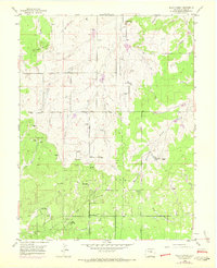
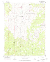
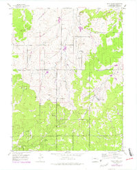
1954 Map of Black Forest
USGS Topo · Published 1985About this map
Spruce Hill and Table Rock anchor the high ground of this El Paso County landscape, where the wooded expanse of the Black Forest transitions into a network of ranching and early suburban development. The map details a period of shifting land use, capturing local institutions like the Black Forest School and the La Foret (Church Camp) alongside newer recreational additions such as the Brentwood Country Club.
Find a feature on this map
30 named features on this map. Tap any name to fly to it.
Don’t see what you’re looking for? This feature index may not catch every label — zoom into the map to look around manually.
Map Details
Editions of this 1954 Black Forest Map
8 editions found
Other maps of this area

1893 · Colorado Springs
USGS Topo · 1:125,000

1894 · Castle Rock
USGS Topo · 1:125,000

1909 · Colorado Springs
USGS Topo · 1:125,000

1913 · Castle Rock
USGS Topo · 1:125,000

1940 · Elbert
USGS Topo · 1:62,500

1942 · Colorado Springs
USGS Topo · 1:125,000

1944 · Elbert
USGS Topo · 1:62,500

1948 · Falcon
USGS Topo · 1:24,000

1948 · Colorado Springs
USGS Topo · 1:62,500

1948 · Pikeview
USGS Topo · 1:24,000