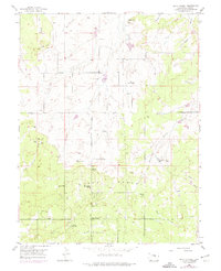
1954 Map of Black Forest
USGS Topo · Published 1974About this map
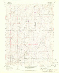
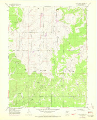
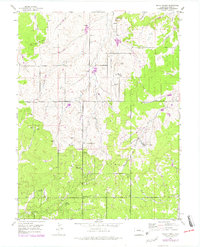
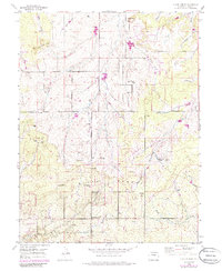
Black Forest appears here during a period of transition, where the dense timber of the Ponderosa pine plateau meets the open ranchlands of the Colorado Piedmont. The map documents a landscape defined by traditional cattle operations like the Old Bar X Ranch and Pine Cone Ranch, while simultaneously showing the emergence of mid-century recreational and community infrastructure. The establishment of the Black Forest School and the Brentwood Country Club near the Television Relay Station indicates a shifting land use toward residential and community-focused development.
Find a feature on this map
32 named features on this map. Tap any name to fly to it.
Don’t see what you’re looking for? This feature index may not catch every label — zoom into the map to look around manually.
Map Details
Editions of this 1954 Black Forest Map
8 editions found
Other maps of this area

1893 · Colorado Springs
USGS Topo · 1:125,000

1894 · Castle Rock
USGS Topo · 1:125,000

1909 · Colorado Springs
USGS Topo · 1:125,000

1913 · Castle Rock
USGS Topo · 1:125,000

1940 · Elbert
USGS Topo · 1:62,500

1942 · Colorado Springs
USGS Topo · 1:125,000

1944 · Elbert
USGS Topo · 1:62,500

1948 · Falcon
USGS Topo · 1:24,000

1948 · Colorado Springs
USGS Topo · 1:62,500

1948 · Pikeview
USGS Topo · 1:24,000