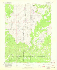
1954 Map of Black Forest
USGS Topo · Published 1971About this map
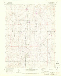
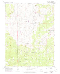
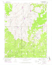
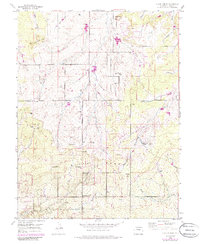
Black Forest dominates this topographic landscape in El Paso County, characterized by a transition from wooded hills to the drainage headwaters of multiple regional creeks. The 1954 data, later updated with 1969 aerial revisions, shows a rural community defined by large ranch holdings and emerging recreational developments. Named properties like Old Bar X Ranch and Pine Cone Ranch are situated among the ridges, while the Black Forest School and the La Foret (Church Camp) serve as local anchors. The map documents the intricate hydrology of the area, where East Cherry Creek, Kiowa Creek, and Black Squirrel Creek originate.
Find a feature on this map
28 named features on this map. Tap any name to fly to it.
Don’t see what you’re looking for? This feature index may not catch every label — zoom into the map to look around manually.
Map Details
Editions of this 1954 Black Forest Map
8 editions found
Other maps of this area

1893 · Colorado Springs
USGS Topo · 1:125,000

1894 · Castle Rock
USGS Topo · 1:125,000

1909 · Colorado Springs
USGS Topo · 1:125,000

1913 · Castle Rock
USGS Topo · 1:125,000

1940 · Elbert
USGS Topo · 1:62,500

1942 · Colorado Springs
USGS Topo · 1:125,000

1944 · Elbert
USGS Topo · 1:62,500

1948 · Falcon
USGS Topo · 1:24,000

1948 · Colorado Springs
USGS Topo · 1:62,500

1948 · Pikeview
USGS Topo · 1:24,000