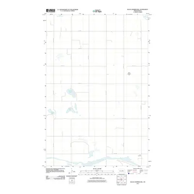
2011 Map of Black Hammer Hill
USGS Topo · Published 2011About this map
Big Slough and the winding Sheyenne River define this corner of Benson County, where the prairie landscape is punctuated by a series of glacial lakes. In the center of the sheet, the waters of Norway Lake, Goose Lake, and Zumpf Lake are surrounded by a rigid grid of section-line roads, such as 51st Ave NE and 27th St NE. The topography is relatively level, interrupted primarily by the elevation of Black Hammer Hill in the eastern portion of the survey. For those researching local burial sites or family connections, Trinity Cemetery sits near the southern edge of the map, adjacent to the wide drainage of the slough. This 2011 survey reflects the enduring rural character of the North Dakota plains, with sparse development and a landscape focused on natural water features and organized agriculture.
Find a feature on this map
21 named features on this map. Tap any name to fly to it.
Don’t see what you’re looking for? This feature index may not catch every label — zoom into the map to look around manually.
Map Details
Editions of this 2011 Black Hammer Hill Map
This is the sole edition of this map. No revisions or reprints were ever made.
Other maps of this area

1932 · Flora
USGS Topo · 1:62,500

1943 · Maddock
USGS Topo · 1:62,500

1945 · Maddock
USGS Topo · 1:62,500

1948 · Cathay
USGS Topo · 1:62,500

1948 · Fessenden
USGS Topo · 1:62,500

1948 · Bremen
USGS Topo · 1:24,000

1949 · Bremen
USGS Topo · 1:24,000

1949 · Fessenden East
USGS Topo · 1:24,000

1949 · Munster
USGS Topo · 1:24,000

1951 · Flora SE
USGS Topo · 1:24,000