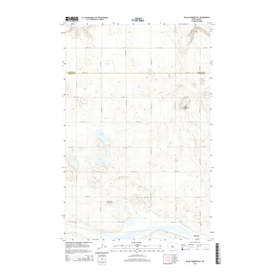
2014 Map of Black Hammer Hill
USGS Topo · Published 2014About this map
Black Hammer Hill rises above the prairie landscape of the Great Plains, serving as a primary topographic landmark on the border between Benson Co and Wells Co. This agricultural region is defined by a grid of rural sections, with the small community of Bremen situated in the southeastern corner. The local geography is characterized by several water bodies, including Norway Lake, Goose Lake, and Zumpf Lake, which occupy the depressions between low-relief glacial landforms. The presence of the Risovi Ranch Strip Airport highlights the reliance on private aviation for transportation in this rural environment, while the Trinity Cem south of town provides a specific point of interest for those researching local family histories and early settlement patterns.
Find a feature on this map
22 named features on this map. Tap any name to fly to it.
Don’t see what you’re looking for? This feature index may not catch every label — zoom into the map to look around manually.
Map Details
Editions of this 2014 Black Hammer Hill Map
This is the sole edition of this map. No revisions or reprints were ever made.
Other maps of this area

1932 · Flora
USGS Topo · 1:62,500

1943 · Maddock
USGS Topo · 1:62,500

1945 · Maddock
USGS Topo · 1:62,500

1948 · Cathay
USGS Topo · 1:62,500

1948 · Fessenden
USGS Topo · 1:62,500

1948 · Bremen
USGS Topo · 1:24,000

1949 · Bremen
USGS Topo · 1:24,000

1949 · Fessenden East
USGS Topo · 1:24,000

1949 · Munster
USGS Topo · 1:24,000

1951 · Flora SE
USGS Topo · 1:24,000