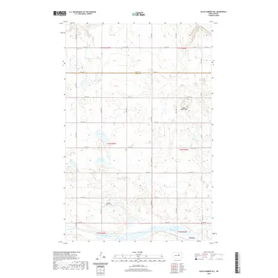
2020 Map of Black Hammer Hill
USGS Topo · Published 2020About this map
Black Hammer Hill rises above a landscape defined by glacial depressions and intermittent water bodies along the border of Benson and Wells Counties. The small settlement of Bremen sits in the southeast corner of the map, situated near the marshy expanse of the Big Slough. This prairie region is marked by its systematic grid of section roads, including 51st Ave NE and 30th St NE, which connect isolated homesteads and local landmarks.
Find a feature on this map
30 named features on this map. Tap any name to fly to it.
Don’t see what you’re looking for? This feature index may not catch every label — zoom into the map to look around manually.
Map Details
Editions of this 2020 Black Hammer Hill Map
This is the sole edition of this map. No revisions or reprints were ever made.
Other maps of this area

1932 · Flora
USGS Topo · 1:62,500

1943 · Maddock
USGS Topo · 1:62,500

1945 · Maddock
USGS Topo · 1:62,500

1948 · Cathay
USGS Topo · 1:62,500

1948 · Fessenden
USGS Topo · 1:62,500

1948 · Bremen
USGS Topo · 1:24,000

1949 · Bremen
USGS Topo · 1:24,000

1949 · Fessenden East
USGS Topo · 1:24,000

1949 · Munster
USGS Topo · 1:24,000

1951 · Flora SE
USGS Topo · 1:24,000