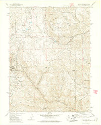
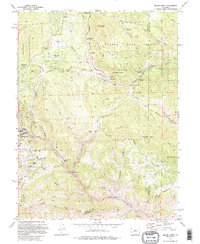
1972 Map of Black Hawk
USGS Topo · Published 1975About this map
Black Hawk sits at the heart of this 1972 survey, documenting a landscape shaped by early Colorado mining and rugged mountain geography. Evidence of the area's industrial past is visible in the numerous mine claims and geological features, including the Baltimore Mine, Hunky Dory Mine, and the Shamrock Mine. Further downstream, extensive Dredge Tailings along North Clear Creek and the Clear Creek Dredge Tailings reveal the scale of hydraulic and mechanical extraction that transformed these valley floors.
Find a feature on this map
70 named features on this map. Tap any name to fly to it.
Don’t see what you’re looking for? This feature index may not catch every label — zoom into the map to look around manually.
Map Details
Editions of this 1972 Black Hawk Map
5 editions found
Other maps of this area

1899 · West Denver
USGS Topo · 1:125,000

1903 · Georgetown
USGS Topo · 1:62,500

1905 · Central City
USGS Topo · 1:62,500

1905 · Georgetown
USGS Topo · 1:62,500

1906 · Blackhawk
USGS Topo · 1:62,500

1910 · Central City
USGS Topo · 1:62,500

1912 · Central City
USGS Topo · 1:62,500

1942 · Eldorado Springs
USGS Topo · 1:24,000

1942 · Nederland
USGS Topo · 1:24,000

1942 · Central City
USGS Topo · 1:24,000