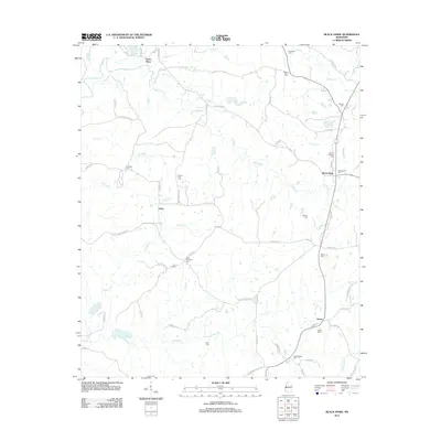
2012 Map of Black Hawk
USGS Topo · Published 2012About this map
Black Hawk serves as the central hub of this Carroll County landscape, situated at the intersection of several historic rural corridors like Morris Rd and Black Hawk Rd. The area is defined by its deep genealogical roots, evidenced by a dense network of family and community burial grounds including Hines Memorial Cem, Bethel Cem, and Mount Pera Cem. These sites, along with smaller settlements such as Seven Pines and Acona, are connected by a web of county roads that navigate the local hydrology.
Find a feature on this map
59 named features on this map. Tap any name to fly to it.
Don’t see what you’re looking for? This feature index may not catch every label — zoom into the map to look around manually.
Map Details
Editions of this 2012 Black Hawk Map
This is the sole edition of this map. No revisions or reprints were ever made.
Other maps of this area

1940 · Seven Pines
USGS Topo · 1:62,500

1940 · Lexington
USGS Topo · 1:62,500

1953 · Greenwood
USGS Topo · 1:250,000

1953 · West Point
USGS Topo · 1:250,000

1956 · Greenwood
USGS Topo · 1:250,000

1957 · Lexington
USGS Topo · 1:62,500

1957 · Seven Pines
USGS Topo · 1:62,500

1958 · West Point
USGS Topo · 1:250,000

1958 · Seven Pines
USGS Topo · 1:62,500

1958 · Lexington
USGS Topo · 1:62,500