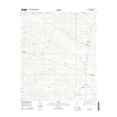
2015 Map of Black Hawk
USGS Topo · Published 2015About this map
The community of Black Hawk serves as the focal point of this Mississippi landscape, situated along the border of Carroll and Holmes counties. This area is characterized by a dense network of family-named cemeteries and rural settlements, illustrating the deep-rooted local history and genealogical significance of the region. From Seven Pines in the north to Acona in the south, the terrain is defined by a system of winding waterways, including the prominent Abiaca Creek and its many tributaries like Dry Creek and Fisher Branch.
Find a feature on this map
75 named features on this map. Tap any name to fly to it.
Don’t see what you’re looking for? This feature index may not catch every label — zoom into the map to look around manually.
Map Details
Editions of this 2015 Black Hawk Map
This is the sole edition of this map. No revisions or reprints were ever made.
Other maps of this area

1940 · Seven Pines
USGS Topo · 1:62,500

1940 · Lexington
USGS Topo · 1:62,500

1953 · Greenwood
USGS Topo · 1:250,000

1953 · West Point
USGS Topo · 1:250,000

1956 · Greenwood
USGS Topo · 1:250,000

1957 · Lexington
USGS Topo · 1:62,500

1957 · Seven Pines
USGS Topo · 1:62,500

1958 · West Point
USGS Topo · 1:250,000

1958 · Seven Pines
USGS Topo · 1:62,500

1958 · Lexington
USGS Topo · 1:62,500