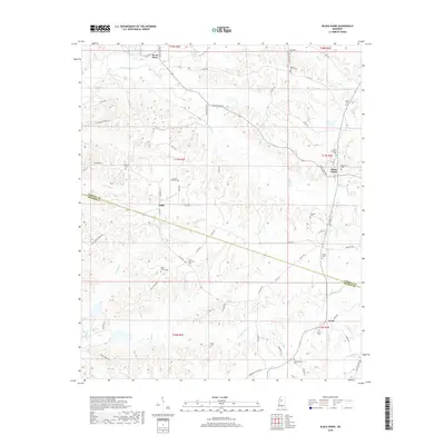
2018 Map of Black Hawk
USGS Topo · Published 2018About this map
Black Hawk and the surrounding rural communities of Adair and Acona define the landscape of this region during the late 2010s. The area is marked by a dense network of country roads and numerous family and community burial grounds, including the Hines Memorial Cem, Mount Pera Cem, and Keirn Cem. These sites, often situated near minor watercourses like Everett Br and Chicopa Cr, provide a framework for understanding the deep-rooted settlement patterns of Carroll and Holmes counties.
Find a feature on this map
88 named features on this map. Tap any name to fly to it.
Don’t see what you’re looking for? This feature index may not catch every label — zoom into the map to look around manually.
Map Details
Editions of this 2018 Black Hawk Map
This is the sole edition of this map. No revisions or reprints were ever made.
Other maps of this area

1940 · Seven Pines
USGS Topo · 1:62,500

1940 · Lexington
USGS Topo · 1:62,500

1953 · Greenwood
USGS Topo · 1:250,000

1953 · West Point
USGS Topo · 1:250,000

1956 · Greenwood
USGS Topo · 1:250,000

1957 · Lexington
USGS Topo · 1:62,500

1957 · Seven Pines
USGS Topo · 1:62,500

1958 · West Point
USGS Topo · 1:250,000

1958 · Seven Pines
USGS Topo · 1:62,500

1958 · Lexington
USGS Topo · 1:62,500