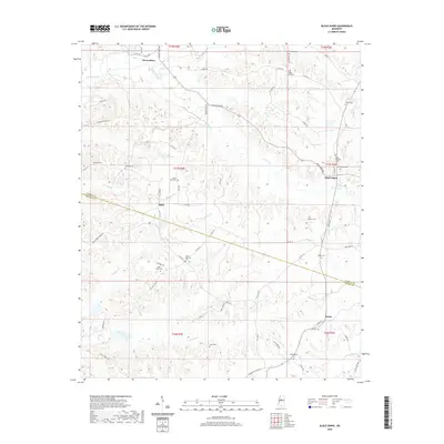
2020 Map of Black Hawk
USGS Topo · Published 2020About this map
The boundary between Carroll and Holmes counties divides this central Mississippi landscape, where small rural communities like Black Hawk and Acona are connected by a web of local roads and watercourses. The terrain is deeply carved by drainage systems including Abiaca Creek and Chicopa Creek, creating a complex network of ridges and bottoms. Historically significant family and community landmarks are scattered throughout the quadrangle, evidenced by a high density of burial sites such as Harmony Cem, Mount Pera Cem, and Hines Memorial Cem. The settlement pattern at Seven Pines and Adair reflects the enduring agricultural character of the region, where roads like Black Hawk Rd and Holly Grove Rd follow the natural topography to link disparate farmsteads and rural parish centers.
Find a feature on this map
73 named features on this map. Tap any name to fly to it.
Don’t see what you’re looking for? This feature index may not catch every label — zoom into the map to look around manually.
Map Details
Editions of this 2020 Black Hawk Map
This is the sole edition of this map. No revisions or reprints were ever made.
Other maps of this area

1940 · Seven Pines
USGS Topo · 1:62,500

1940 · Lexington
USGS Topo · 1:62,500

1953 · Greenwood
USGS Topo · 1:250,000

1953 · West Point
USGS Topo · 1:250,000

1956 · Greenwood
USGS Topo · 1:250,000

1957 · Lexington
USGS Topo · 1:62,500

1957 · Seven Pines
USGS Topo · 1:62,500

1958 · West Point
USGS Topo · 1:250,000

1958 · Seven Pines
USGS Topo · 1:62,500

1958 · Lexington
USGS Topo · 1:62,500