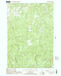
1984 Map of Black Hills
USGS Topo · Published 1985About this map
Black Hills National Forest encompasses this high country in the mid-1980s, where the Bear Lodge Mountains and Taylor Divide shape a landscape of ridges and secluded creek basins. Numerous natural water sources like Scott Spring and Selliez Spring dot the terrain, suggesting a reliance on these features for livestock or seasonal camps. The map is marked by family-named landmarks such as Massengale Flats and Deckelman Ridge, which point to the ranching and timber history of Crook County.
Find a feature on this map
31 named features on this map. Tap any name to fly to it.
Don’t see what you’re looking for? This feature index may not catch every label — zoom into the map to look around manually.
Map Details
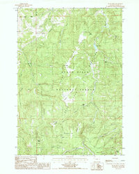
Editions of this 1984 Black Hills Map
2 editions found
Other maps of this area

1898 · Sundance
USGS Topo · 1:125,000

1901 · Aladdin
USGS Topo · 1:125,000

1902 · Sundance
USGS Topo · 1:125,000

1903 · Aladdin
USGS Topo · 1:125,000

1905 · Devils Tower
USGS Topo · 1:125,000

1918 · Moorcroft
USGS Topo · 1:125,000

1954 · Gillette
USGS Topo · 1:250,000

1955 · Devils Tower
USGS Topo · 1:62,500

1955 · Gillette
USGS Topo · 1:250,000

1957 · Nefsy Divide
USGS Topo · 1:62,500