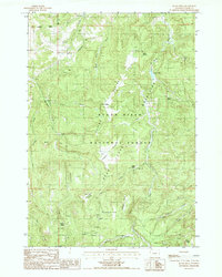
1984 Map of Black Hills
USGS Topo · Published 1985About this map
The Black Hills National Forest dominates this Wyoming landscape, where the rugged terrain is defined by the Taylor Divide and the Mountains to the east. Water sources are critical in this high-elevation environment, evidenced by the numerous named springs such as Selliez Spring, Scott Spring, and Togus Spring that feed the local drainages. The map illustrates a network of backcountry ridges and flats, including the prominent Massengale Flats and Ledogar Flats, which likely supported seasonal grazing or forestry operations.
Find a feature on this map
33 named features on this map. Tap any name to fly to it.
Don’t see what you’re looking for? This feature index may not catch every label — zoom into the map to look around manually.
Map Details
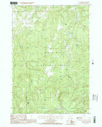
Editions of this 1984 Black Hills Map
2 editions found
Other maps of this area

1898 · Sundance
USGS Topo · 1:125,000

1901 · Aladdin
USGS Topo · 1:125,000

1902 · Sundance
USGS Topo · 1:125,000

1903 · Aladdin
USGS Topo · 1:125,000

1905 · Devils Tower
USGS Topo · 1:125,000

1918 · Moorcroft
USGS Topo · 1:125,000

1954 · Gillette
USGS Topo · 1:250,000

1955 · Devils Tower
USGS Topo · 1:62,500

1955 · Gillette
USGS Topo · 1:250,000

1957 · Nefsy Divide
USGS Topo · 1:62,500