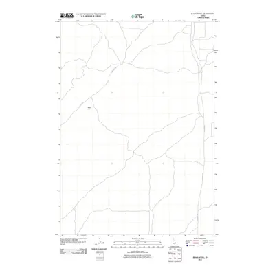
2010 Map of Black Knoll
USGS Topo · Published 2010About this map
Black Knoll anchors this high-desert landscape in Fremont County, serving as the most prominent landform in an area otherwise characterized by its remote network of backcountry routes. The terrain is navigated by long, unpaved corridors such as Sand Dune Rd and Sand Creek Rd, which suggest the area's utility for livestock grazing and land management in the early 21st century. This 2010 survey illustrates a quiet stretch of the Idaho interior where natural features and essential access roads remain the primary markers of the geography, with very little human development impacting the open surroundings.
Find a feature on this map
3 named features on this map. Tap any name to fly to it.
Don’t see what you’re looking for? This feature index may not catch every label — zoom into the map to look around manually.
Map Details
Editions of this 2010 Black Knoll Map
This is the sole edition of this map. No revisions or reprints were ever made.
Other maps of this area

1948 · Parker
USGS Topo · 1:24,000

1949 · Newdale
USGS Topo · 1:24,000

1950 · Parker
USGS Topo · 1:24,000

1950 · Newdale
USGS Topo · 1:24,000

1950 · St Anthony
USGS Topo · 1:24,000

1955 · Ashton
USGS Topo · 1:250,000

1955 · Driggs
USGS Topo · 1:250,000

1958 · Driggs
USGS Topo · 1:250,000

1958 · Ashton
USGS Topo · 1:250,000

1960 · Ashton
USGS Topo · 1:250,000