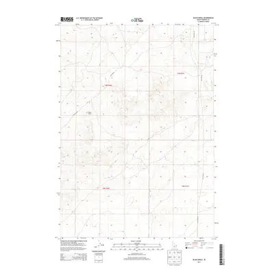
2013 Map of Black Knoll
USGS Topo · Published 2013About this map
Black Knoll stands as the central landmark of this high-altitude landscape in Fremont County, marking a terrain of subtle elevation changes and expansive open ground. This 2013 survey illustrates the sparse infrastructure characteristic of the region, where a few vital corridors such as Sand Dune Rd and Sand Creek Rd provide the only significant access through the backcountry. The map clearly delineates the Public Land Survey System grid across four townships, including t9n r40e and t8n r41e. This document serves as a precise record of Idaho's undeveloped interior before more recent shifts in land use or recreation, emphasizing the raw topography and the historical township divisions that define Eastern Idaho's ranching and wilderness areas.
Find a feature on this map
7 named features on this map. Tap any name to fly to it.
Don’t see what you’re looking for? This feature index may not catch every label — zoom into the map to look around manually.
Map Details
Editions of this 2013 Black Knoll Map
This is the sole edition of this map. No revisions or reprints were ever made.
Other maps of this area

1948 · Parker
USGS Topo · 1:24,000

1949 · Newdale
USGS Topo · 1:24,000

1950 · Parker
USGS Topo · 1:24,000

1950 · Newdale
USGS Topo · 1:24,000

1950 · St Anthony
USGS Topo · 1:24,000

1955 · Ashton
USGS Topo · 1:250,000

1955 · Driggs
USGS Topo · 1:250,000

1958 · Driggs
USGS Topo · 1:250,000

1958 · Ashton
USGS Topo · 1:250,000

1960 · Ashton
USGS Topo · 1:250,000