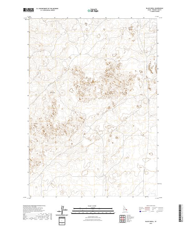
2023 Map of Black Knoll
USGS Topo · Published 2023About this map
Black Knoll stands as a prominent elevation within this portion of Fremont County, anchoring a landscape defined by its subtle topographical shifts and remote high-desert character. The area is intersected by long-distance thoroughfares such as Sand Dune Rd and Sand Creek Rd, which provide the primary access through these expansive sections of the Public Land Survey System. The map details the grid of Township and Range lines, specifically the transition between t9n r41e and t8n r41e, revealing a terrain mostly untouched by dense settlement. This 2023 survey illustrates the modern configuration of rural boundary lines and access routes in a part of Idaho where the natural geography continues to dictate the layout of human infrastructure.
Find a feature on this map
7 named features on this map. Tap any name to fly to it.
Don’t see what you’re looking for? This feature index may not catch every label — zoom into the map to look around manually.
Map Details
Editions of this 2023 Black Knoll Map
This is the sole edition of this map. No revisions or reprints were ever made.
Other maps of this area

1948 · Parker
USGS Topo · 1:24,000

1949 · Newdale
USGS Topo · 1:24,000

1950 · Parker
USGS Topo · 1:24,000

1950 · Newdale
USGS Topo · 1:24,000

1950 · St Anthony
USGS Topo · 1:24,000

1955 · Ashton
USGS Topo · 1:250,000

1955 · Driggs
USGS Topo · 1:250,000

1958 · Driggs
USGS Topo · 1:250,000

1958 · Ashton
USGS Topo · 1:250,000

1960 · Ashton
USGS Topo · 1:250,000