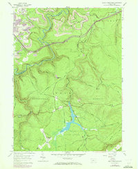
1959 Map of Black Moshannon
USGS Topo · Published 1972About this map
Moshannon State Forest dominates this topographic landscape along the border of Clearfield and Centre counties, where industrial activity and conservation efforts sit side-by-side. The presence of a strip mine near Grassflat and the Penn Central rail line—complete with a Viaduct and Tunnel—signals the region’s historic reliance on coal and transportation. Meanwhile, recreational development is evident at Black Moshannon State Park, centered on Black Moshannon Lake and its associated dam. The map records specialized infrastructure of the era, such as the Mid-State Airport, the Philipsburg Radio Range Station, and Ski Lifts on the slopes above Starband Beaver Skytop Run. Small settlements like Peale and Gorton are tucked into the high terrain, connected by rugged routes like Rattlesnake Road. From the Rattlesnake Lookout Tower to the wetlands of Dry Hollow, the survey documents a transition from heavy extraction to public land management.
Find a feature on this map
51 named features on this map. Tap any name to fly to it.
Don’t see what you’re looking for? This feature index may not catch every label — zoom into the map to look around manually.
Map Details
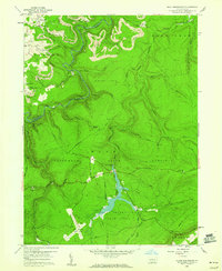
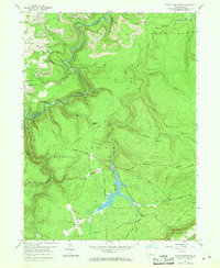
Editions of this 1959 Black Moshannon Map
3 editions found
Other maps of this area

1908 · Bellefonte
USGS Topo · 1:62,500

1909 · Bellefonte
USGS Topo · 1:62,500

1922 · Philipsburg
USGS Topo · 1:62,500

1928 · Snow Shoe
USGS Topo · 1:48,000

1929 · Karthaus
USGS Topo · 1:62,500

1931 · Show Shoe
USGS Topo · 1:62,500

1932 · Karthaus
USGS Topo · 1:62,500

1939 · Philipsburg
USGS Topo · 1:62,500

1943 · Lewistown
USGS Topo · 1:125,000

1945 · Philipsburg
USGS Topo · 1:62,500