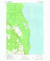
1971 Map of Black River
USGS Topo · Published 1974About this map
The settlement of Black River sits at the interface of a dense waterway network and the Lake Huron shoreline. This early 1970s landscape is defined by the proximity of the Detroit and Mackinac rail line to the coast, serving a region heavily buffered by public lands, including the Huron National Forest and the Sanborn Forest. For the genealogist and local historian, the map preserves essential community landmarks like the Black River Sch, Calvary Cem, and the southern settlement of Alcona near the Alcona Cem. The map's hydrography is particularly rich, showing the namesake Black River alongside Muskrat Lake, Potvin Lake, and numerous named tributaries like De Rocher Creek and Gauthier Creek. The topography reveals local elevations such as Sand Hill, illustrating the transition from the lake's edge to the inland wooded marshes.
Find a feature on this map
44 named features on this map. Tap any name to fly to it.
Don’t see what you’re looking for? This feature index may not catch every label — zoom into the map to look around manually.
Map Details
Editions of this 1971 Black River Map
This is the sole edition of this map. No revisions or reprints were ever made.
Other maps of this area

1954 · Tawas City
USGS Topo · 1:250,000

1958 · Tawas City
USGS Topo · 1:250,000

1959 · Harrisville
USGS Topo · 1:62,500

1971 · Spruce
USGS Topo · 1:24,000
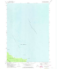
1971 · South Point
USGS Topo · 1:24,000
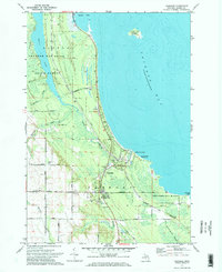
1971 · Ossineke
USGS Topo · 1:24,000

1983 · Hubbard Lake
USGS Topo · 1:100,000
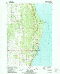
1989 · Harrisville
USGS Topo · 1:24,000
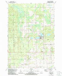
1989 · Lincoln
USGS Topo · 1:24,000
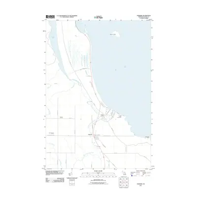
2011 · Ossineke
USGS Topo · 1:24,000