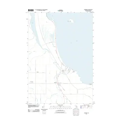
2011 Map of Ossineke
USGS Topo · Published 2011About this map
Ossineke sits at the convergence of the North Branch Devils River and South Branch Devils River as they flow into Lake Huron. This 2011 survey illustrates the coastal settlement's relationship with the water, showing the village clustered near the Ossineke Post Office and the protected waters of Squaw Bay. The landscape is defined by its drainage patterns, with Devils Lake in the northwest and Holcomb Creek winding through the southern reaches. Local history is anchored by several burial grounds, including the Sanborn Township Cemetery, Saint Catherine's Cemetery, and the German Cemetery, which reflect the community's early settlement clusters. Along the shore, the Ossineke Forest Campground and the offshore Sulphur Island indicate the area's use for recreation and conservation, while a dense grid of local roads like W Nicholson Hill Rd and Osineke Rd provides access to the interior woodlands and small farmsteads.
Find a feature on this map
45 named features on this map. Tap any name to fly to it.
Don’t see what you’re looking for? This feature index may not catch every label — zoom into the map to look around manually.
Map Details
Editions of this 2011 Ossineke Map
This is the sole edition of this map. No revisions or reprints were ever made.
Other maps of this area

1954 · Tawas City
USGS Topo · 1:250,000

1954 · Alpena
USGS Topo · 1:250,000

1957 · Alpena
USGS Topo · 1:250,000

1958 · Alpena
USGS Topo · 1:250,000

1958 · Tawas City
USGS Topo · 1:250,000

1969 · Alpena
USGS Topo · 1:250,000

1971 · Lake Winyah
USGS Topo · 1:24,000

1971 · Alpena
USGS Topo · 1:24,000

1971 · Spruce
USGS Topo · 1:24,000

1971 · North Point
USGS Topo · 1:24,000