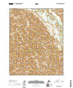
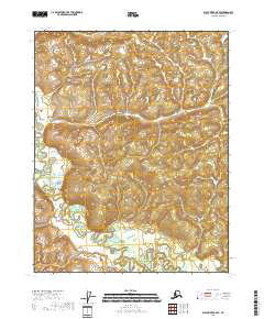
2018 Map of Black River B-5 SW
USGS Topo · Published 2018About this map
Tchulkade Lake sits near the northern boundary of this high-latitude terrain, centered within a landscape defined by intricate drainage patterns and expansive wetlands. The eastern portion of the sheet is marked by the meandering path of the Little Black River, which winds through the Public Land Survey System boundaries of t18n r21e and t17n r21e. This 2018 survey documents a remote interior Alaskan environment where the hydrography is the primary defining characteristic of the land. With no roads or established settlements noted on the map, the cartography focuses on the elevation contours and the network of small lakes and seasonal water bodies that feed into the larger river system, providing a precise record of the regional hydrology as it existed in the early 21st century.
Find a feature on this map
6 named features on this map. Tap any name to fly to it.
Don’t see what you’re looking for? This feature index may not catch every label — zoom into the map to look around manually.
Map Details
Editions of this 2018 Black River B-5 SW Map
This is the sole edition of this map. No revisions or reprints were ever made.
Other maps of this area

1951 · Black River
USGS Topo · 1:250,000

1956 · Black River B-6
USGS Topo · 1:63,360

1956 · Black River B-5
USGS Topo · 1:63,360

1956 · Black River A-6
USGS Topo · 1:63,360
1956 · Black River A-5
USGS Topo · 1:63,360

1956 · Black River
USGS Topo · 1:250,000

1964 · Black River
USGS Topo · 1:250,000
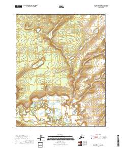
2018 · Black River B-5 NW
USGS Topo · 1:25,000
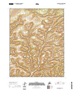
2018 · Black River B-5 NE
USGS Topo · 1:25,000
2018 · Black River B-5 SE
USGS Topo · 1:25,000