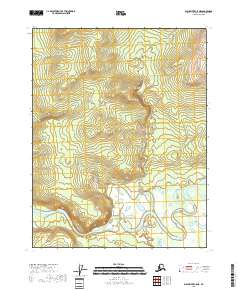
2018 Map of Black River C-5 NE
USGS Topo · Published 2018About this map
The Draanjik River meanders across the southern landscape of this Yukon-Koyukuk region, a complex hydrologic environment characterized by intricate oxbows and numerous small wetlands. This 2018 survey highlights the remote riverine topography where the water makes a distinct bend at Deadman Riffle, a named navigation point or terrain feature along the waterway. The map provides precise Public Land Survey System data for parts of t22n r21e, t22n r22e, t21n r21e, and t21n r22e, reflecting the administrative framework of this Alaskan interior. With no roads or permanent settlements indicated, the map depicts a wilderness defined by water and elevation, offering researchers a detailed look at the river's path through the flats.
Find a feature on this map
6 named features on this map. Tap any name to fly to it.
Don’t see what you’re looking for? This feature index may not catch every label — zoom into the map to look around manually.
Map Details
Editions of this 2018 Black River C-5 NE Map
This is the sole edition of this map. No revisions or reprints were ever made.
Other maps of this area

1951 · Black River
USGS Topo · 1:250,000

1956 · Black River D-4
USGS Topo · 1:63,360

1956 · Black River D-5
USGS Topo · 1:63,360

1956 · Black River C-5
USGS Topo · 1:63,360

1956 · Black River C-4
USGS Topo · 1:63,360

1956 · Black River
USGS Topo · 1:250,000

1964 · Black River
USGS Topo · 1:250,000
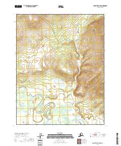
2018 · Black River C-4 NW
USGS Topo · 1:25,000
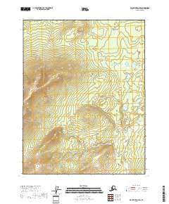
2018 · Black River D-4 SW
USGS Topo · 1:25,000
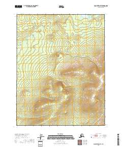
2018 · Black River D-5 SE
USGS Topo · 1:25,000