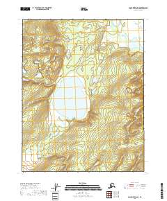
2018 Map of Black River C-5 SE
USGS Topo · Published 2018About this map
Tiinkdhul Lake occupies a central basin in this remote expanse of the Alaska interior, representing the primary hydrographic feature in a landscape defined by complex wetland systems. This 2018 survey illustrates the Public Land Survey System grid across portions of Townships 19 through 21 North and Ranges 21 and 22 East. The terrain is characterized by subtle elevation changes and an intricate network of marshes and smaller unnamed water bodies surrounding the lake. Data compiled from the National Hydrography Dataset and the National Elevation Dataset reveal a wilderness area largely devoid of permanent human infrastructure or established roads, preserved here in its natural state during the early 21st century.
Find a feature on this map
7 named features on this map. Tap any name to fly to it.
Don’t see what you’re looking for? This feature index may not catch every label — zoom into the map to look around manually.
Map Details
Editions of this 2018 Black River C-5 SE Map
This is the sole edition of this map. No revisions or reprints were ever made.
Other maps of this area

1951 · Black River
USGS Topo · 1:250,000

1956 · Black River B-5
USGS Topo · 1:63,360

1956 · Black River B-4
USGS Topo · 1:63,360

1956 · Black River C-5
USGS Topo · 1:63,360

1956 · Black River C-4
USGS Topo · 1:63,360

1956 · Black River
USGS Topo · 1:250,000

1964 · Black River
USGS Topo · 1:250,000
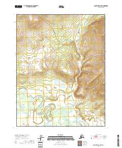
2018 · Black River C-4 NW
USGS Topo · 1:25,000
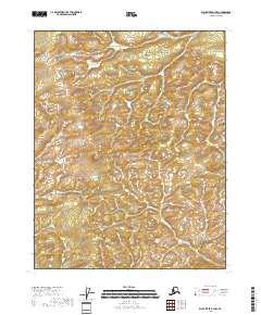
2018 · Black River B-4 NW
USGS Topo · 1:25,000
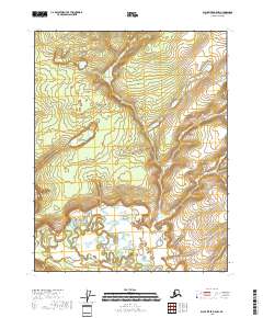
2018 · Black River B-5 NW
USGS Topo · 1:25,000