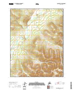
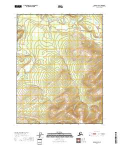
2018 Map of Black River D-1 NE
USGS Topo · Published 2018About this map
Canada United States of America defines the eastern edge of this 2018 survey, where the international boundary meets the high mountain terrain of the Yukon-Koyukuk Census Area. The landscape is dominated by the winding course of the Salmon Trout River, which snakes across the northern and western sections of the quadrangle. This area represents a remote portion of the Alaska interior, where the Public Land Survey System grid lines intersect with steep topographic contours. The mapping reveals a territory largely devoid of modern development, focusing instead on the natural hydrology and the sharp elevations that characterize the borderlands between the eastern interior and the Canadian Yukon territory.
Find a feature on this map
7 named features on this map. Tap any name to fly to it.
Don’t see what you’re looking for? This feature index may not catch every label — zoom into the map to look around manually.
Map Details
Editions of this 2018 Black River D-1 NE Map
This is the sole edition of this map. No revisions or reprints were ever made.
Other maps of this area

1951 · Black River
USGS Topo · 1:250,000

1951 · Coleen
USGS Topo · 1:250,000

1956 · Coleen
USGS Topo · 1:250,000

1956 · Coleen A-1
USGS Topo · 1:63,360
1956 · Black River D-1
USGS Topo · 1:63,360

1956 · Black River
USGS Topo · 1:250,000

1964 · Black River
USGS Topo · 1:250,000
2018 · Black River D-1 SW
USGS Topo · 1:25,000
2018 · Black River D-1 NW
USGS Topo · 1:25,000
2018 · Coleen A-1 SW
USGS Topo · 1:25,000