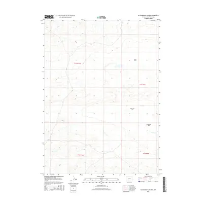
2015 Map of Black Rock Flat West
USGS Topo · Published 2015About this map
Black Rock Flat and the surrounding high desert of Sweetwater County are the primary focus of this 2015 U.S. Geological Survey topographic study. The landscape is defined by its drainage patterns and arid basins, including the notable Alkali Basin in the northeast and the seasonal flow of Black Rock Cr. Modern infrastructure is sparse, limited primarily to CR-15, which traverses the western half of the quadrangle through T23N R100W and T22N R100W. The map captures a moment in the early 21st century where the primary human footprint is found in the section lines of the Public Land Survey System and the utility of Greasewood Wash as a natural drainage feature. This data provides a baseline for understanding the physical geography of this remote Wyoming corridor, where natural topography dictating water movement remains the dominant characteristic of the land.
Find a feature on this map
9 named features on this map. Tap any name to fly to it.
Don’t see what you’re looking for? This feature index may not catch every label — zoom into the map to look around manually.
Map Details
Editions of this 2015 Black Rock Flat West Map
This is the sole edition of this map. No revisions or reprints were ever made.
Other maps of this area

1954 · Rock Springs
USGS Topo · 1:250,000

1955 · Lander
USGS Topo · 1:250,000

1958 · Lander
USGS Topo · 1:250,000

1958 · Rock Springs
USGS Topo · 1:250,000

1958 · Twelvemile Well
USGS Topo · 1:62,500

1958 · Freighter Gap
USGS Topo · 1:62,500

1958 · The Pinnacles
USGS Topo · 1:62,500

1958 · Superior
USGS Topo · 1:62,500

1961 · Lander
USGS Topo · 1:250,000

1962 · Rock Springs
USGS Topo · 1:250,000