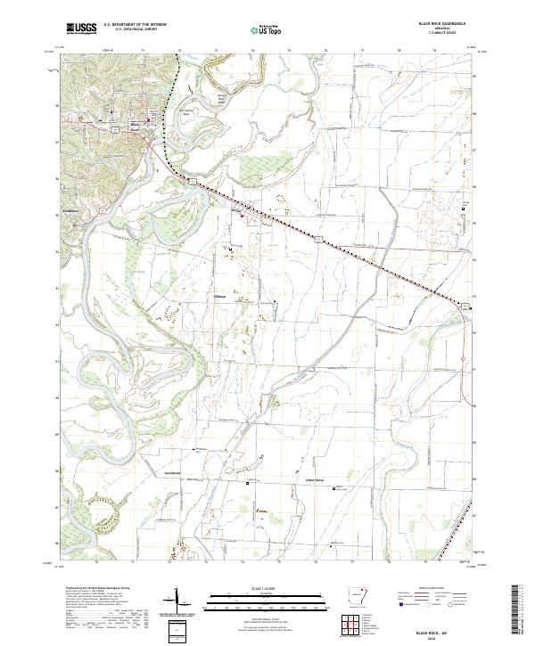
2024 Map of Black Rock
USGS Topo · Published 2024About this map
Black River meanders through this portion of Lawrence County, carving the distinct loop of Box Factory Bend just east of Black Rock. The convergence of the Spring River and Black River creates the Spring River Shoal, a topographic feature that historically influenced local navigation and settlement patterns. The landscape is dotted with small communities like Portia, Powhatan, and Lauratown, each connected by a network of rural roads such as Old Hwy 63.
Find a feature on this map
80 named features on this map. Tap any name to fly to it.
Don’t see what you’re looking for? This feature index may not catch every label — zoom into the map to look around manually.
Map Details
Editions of this 2024 Black Rock Map
This is the sole edition of this map. No revisions or reprints were ever made.
Other maps of this area

1932 · Walnut Ridge
USGS Topo · 1:62,500

1934 · Powhatan
USGS Topo · 1:62,500

1935 · Powhatan
USGS Topo · 1:62,500

1935 · Sedgwick
USGS Topo · 1:62,500

1935 · Alicia
USGS Topo · 1:62,500

1935 · Walnut Ridge
USGS Topo · 1:62,500

1953 · Memphis
USGS Topo · 1:250,000

1956 · Memphis
USGS Topo · 1:250,000

1957 · Poplar Bluff
USGS Topo · 1:250,000

1959 · Poplar Bluff
USGS Topo · 1:250,000