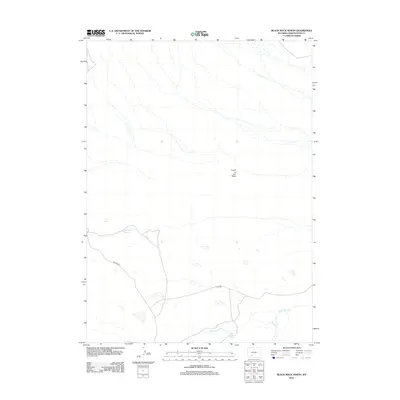
2012 Map of Black Rock North
USGS Topo · Published 2012About this map
Black Rock Springs marks a vital water point in this arid stretch of Sweetwater County, where the high desert landscape is defined by drainage patterns and seasonal catchments. The terrain is characterized by broad erosional features like Fourth of July Wash, which channels runoff through the high plains. Human presence is concentrated around water management and transit, visible in the placement of Greasewood Reservoir and the simple road network connecting the region. Remote thoroughfares such as Chilton Rd and 9 Mile Rd provide the primary access to this section of the Wyoming desert, while Black Rock Cr meanders through the southern portion of the quadrangle. This 2012 survey illustrates the enduring importance of isolated springs and reservoirs in sustaining life and activity in the vast, open spaces of the American West.
Find a feature on this map
6 named features on this map. Tap any name to fly to it.
Don’t see what you’re looking for? This feature index may not catch every label — zoom into the map to look around manually.
Map Details
Editions of this 2012 Black Rock North Map
This is the sole edition of this map. No revisions or reprints were ever made.
Other maps of this area

1954 · Rock Springs
USGS Topo · 1:250,000

1955 · Lander
USGS Topo · 1:250,000

1958 · Lander
USGS Topo · 1:250,000

1958 · Rock Springs
USGS Topo · 1:250,000

1958 · Twelvemile Well
USGS Topo · 1:62,500

1958 · Freighter Gap
USGS Topo · 1:62,500

1958 · The Pinnacles
USGS Topo · 1:62,500

1958 · Superior
USGS Topo · 1:62,500

1961 · Lander
USGS Topo · 1:250,000

1962 · Rock Springs
USGS Topo · 1:250,000