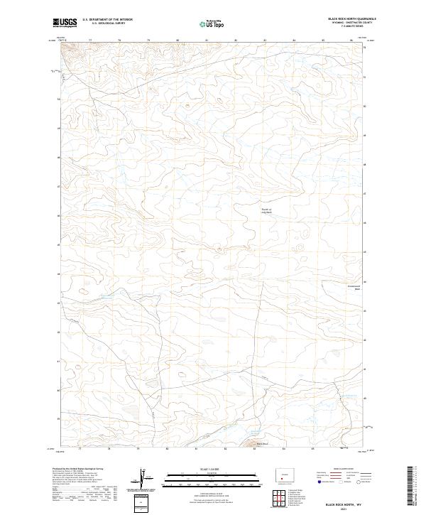
2021 Map of Black Rock North
USGS Topo · Published 2021About this map
Black Rock stands as the central landmark in this high desert landscape of Sweetwater County, where the hydrology is defined by seasonal drainages and isolated water sources. The presence of Black Rock Springs and the Greasewood Reservoir suggests the critical importance of water management in an area dominated by dry beds like the Fourth of July Wash and Greasewood Wash. This 2021 survey illustrates a territory primarily organized by the Public Land Survey System, with the intersections of t23n r101w and surrounding townships marking the administrative grid over the open range. Transportation is limited to functional routes such as Chilton Rd and Co Rd 83, which provide access through the vast acreage of the Red Desert region, likely serving local ranching or resource management interests.
Find a feature on this map
13 named features on this map. Tap any name to fly to it.
Don’t see what you’re looking for? This feature index may not catch every label — zoom into the map to look around manually.
Map Details
Editions of this 2021 Black Rock North Map
This is the sole edition of this map. No revisions or reprints were ever made.
Other maps of this area

1954 · Rock Springs
USGS Topo · 1:250,000

1955 · Lander
USGS Topo · 1:250,000

1958 · Lander
USGS Topo · 1:250,000

1958 · Rock Springs
USGS Topo · 1:250,000

1958 · Twelvemile Well
USGS Topo · 1:62,500

1958 · Freighter Gap
USGS Topo · 1:62,500

1958 · The Pinnacles
USGS Topo · 1:62,500

1958 · Superior
USGS Topo · 1:62,500

1961 · Lander
USGS Topo · 1:250,000

1962 · Rock Springs
USGS Topo · 1:250,000