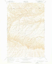
1953 Map of Black Rock Spring NE
USGS Topo · Published 1976About this map
Yakima Firing Center Military Reservation dominates this mid-century landscape, illustrating the expansion of federal military training grounds in Central Washington during the early Cold War. The map captures a transition point where private land use and defense needs met, notably at Stewart Ranch, one of the few named domestic sites within the vast terrain. The topography is defined by the sharp elevations of Umtanum Ridge and the Hog Ranch Buttes, which give way to a network of deeply etched drainages including Alkali Canyon, Corral Canyon, and Sourdough Canyon. The boundary between Kittitas Co and Yakima Co bisects the northern section of the map, marking a political division across a largely uninhabited and arid expanse used primarily for maneuver and range exercises.
Find a feature on this map
9 named features on this map. Tap any name to fly to it.
Don’t see what you’re looking for? This feature index may not catch every label — zoom into the map to look around manually.
Map Details
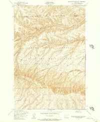
Editions of this 1953 Black Rock Spring NE Map
2 editions found
Other maps of this area

1912 · Beverly
USGS Topo · 1:62,500

1917 · Priest Rapids
USGS Topo · 1:62,500

1936 · Hog Ranch Buttes
USGS Topo · 1:48,000

1939 · Boylston
USGS Topo · 1:48,000

1941 · Black Rock Spring
USGS Topo · 1:62,500

1943 · Boylston
USGS Topo · 1:62,500

1948 · Cairn Hope Peak
USGS Topo · 1:24,000

1948 · Priest Rapids
USGS Topo · 1:24,000

1950 · Yakima
USGS Topo · 1:250,000

1951 · Priest Rapids
USGS Topo · 1:62,500