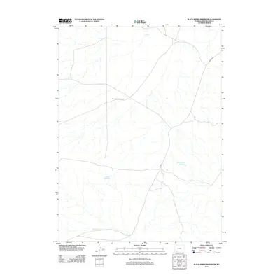
2012 Map of Black Spring Reservoir
USGS Topo · Published 2012About this map
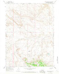
Black Spring Reservoir sits at the heart of this high desert landscape in Sweetwater County, where the management of water defines the human footprint. The map documents a network of essential water sources including Soaphole Spring and Indian Reservoir, reflecting the region's reliance on scattered springs and man-made catchments for livestock or irrigation. These water features are connected by a sparse but vital road network, primarily Co Hwy-1 and Cedar Mountain Rd. The southern portion of the quadrangle is defined by the winding course of Little Dry Cr, which carves through the terrain, illustrating the drainage patterns that dominate this arid environment. This 2012 survey serves as a precise record of the contemporary infrastructure and hydrological features that support life and transit in this part of southwestern Wyoming.
Find a feature on this map
7 named features on this map. Tap any name to fly to it.
Don’t see what you’re looking for? This feature index may not catch every label — zoom into the map to look around manually.
Map Details
Editions of this 2012 Black Spring Reservoir Map
This is the sole edition of this map. No revisions or reprints were ever made.
Other maps of this area

1954 · Rock Springs
USGS Topo · 1:250,000

1957 · Mc Kinnon Junction
USGS Topo · 1:62,500

1958 · Rock Springs
USGS Topo · 1:250,000

1962 · Rock Springs
USGS Topo · 1:250,000
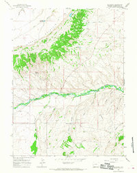
1964 · Mc Kinnon
USGS Topo · 1:24,000

1964 · Black Spring Reservoir
USGS Topo · 1:24,000
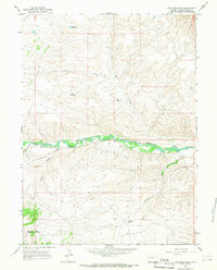
1964 · Antelope Wash
USGS Topo · 1:24,000

1964 · Winter Fat Reservoir
USGS Topo · 1:24,000
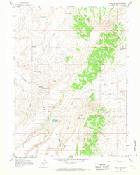
1964 · Horse Ranch
USGS Topo · 1:24,000
1964 · Needle Reservoir
USGS Topo · 1:24,000