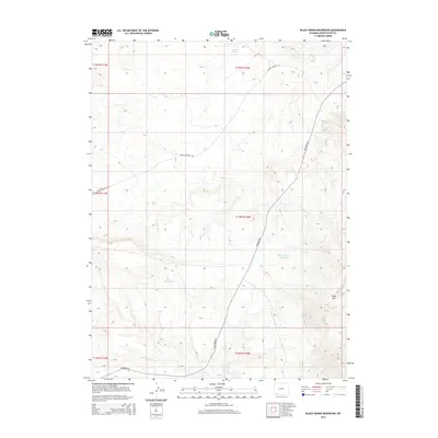
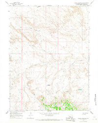
2015 Map of Black Spring Reservoir
USGS Topo · Published 2015About this map
Black Spring Reservoir and the neighboring Indian Reservoir serve as vital catchment points in this high-desert pocket of Sweetwater County. The terrain is defined by dramatic elevation changes, culminating in the prominent Black Mtn to the east. Water management remains a central theme of the landscape, seen in the drainage of Little Dry Cr and the isolated Soaphole Spring. Human infrastructure is sparse but essential, primarily consisting of the long-distance thoroughfares McKinnon Rd and Cedar Mountain Rd, which navigate the complex topography. This 2015 survey reflects a modern era of land management by the BLM and U.S. Geological Survey, documenting the essential water sources and roads used by ranchers and hunters in this arid corner of Wyoming.
Find a feature on this map
13 named features on this map. Tap any name to fly to it.
Don’t see what you’re looking for? This feature index may not catch every label — zoom into the map to look around manually.
Map Details
Editions of this 2015 Black Spring Reservoir Map
This is the sole edition of this map. No revisions or reprints were ever made.
Other maps of this area

1954 · Rock Springs
USGS Topo · 1:250,000

1957 · Mc Kinnon Junction
USGS Topo · 1:62,500

1958 · Rock Springs
USGS Topo · 1:250,000

1962 · Rock Springs
USGS Topo · 1:250,000
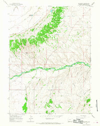
1964 · Mc Kinnon
USGS Topo · 1:24,000

1964 · Black Spring Reservoir
USGS Topo · 1:24,000
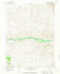
1964 · Antelope Wash
USGS Topo · 1:24,000

1964 · Winter Fat Reservoir
USGS Topo · 1:24,000
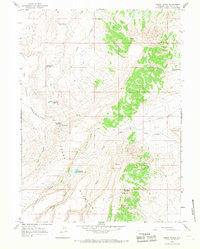
1964 · Horse Ranch
USGS Topo · 1:24,000
1964 · Needle Reservoir
USGS Topo · 1:24,000