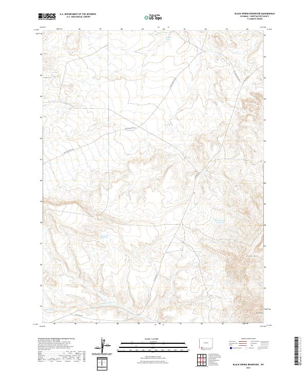
2021 Map of Black Spring Reservoir
USGS Topo · Published 2021About this map
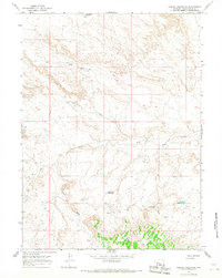
Black Spring Reservoir and the high elevation of Black Mtn anchor this high-altitude landscape in Sweetwater County. The terrain is defined by its arid hydrology, where seasonal water sources like Indian Reservoir and Soaphole Spring provide essential relief in a territory carved by Little Dry Cr. The map shows a sparse but functional road network, primarily Cedar Mountain Rd and McKinnon Rd, which navigate the varying topography of the high plains and foothills. Toward the southeastern corner, the distinct landforms of Twin Buttes stand as prominent navigational landmarks. The layout of section lines and township boundaries, including the meeting of T14N and T13N, reflects the structured land management of this part of Wyoming, highlighting the vast distances between named features and reliable water points.
Find a feature on this map
16 named features on this map. Tap any name to fly to it.
Don’t see what you’re looking for? This feature index may not catch every label — zoom into the map to look around manually.
Map Details
Editions of this 2021 Black Spring Reservoir Map
This is the sole edition of this map. No revisions or reprints were ever made.
Other maps of this area

1954 · Rock Springs
USGS Topo · 1:250,000

1957 · Mc Kinnon Junction
USGS Topo · 1:62,500

1958 · Rock Springs
USGS Topo · 1:250,000

1962 · Rock Springs
USGS Topo · 1:250,000
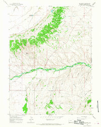
1964 · Mc Kinnon
USGS Topo · 1:24,000

1964 · Black Spring Reservoir
USGS Topo · 1:24,000
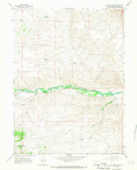
1964 · Antelope Wash
USGS Topo · 1:24,000

1964 · Winter Fat Reservoir
USGS Topo · 1:24,000
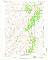
1964 · Horse Ranch
USGS Topo · 1:24,000
1964 · Needle Reservoir
USGS Topo · 1:24,000