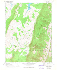
1967 Map of Blackbird Knob
USGS Topo · Published 1972About this map
Dolly Sods defines this high plateau landscape, where the dramatic ridge of the Allegheny Front drops away toward the Jordan Run valley. This 1967 field survey captures the wilderness character of the Monongahela National Forest straddling the Tucker and Grant County line. The terrain is marked by distinctive rock formations like Bear Rocks and Stack Rock, while the hydrologic pattern is dominated by the headwaters of Red Creek and its numerous tributaries such as Alder Run and Red Run. Evidence of human activity is sparse but specific, including a Quarry in the southeast and the Red Creek Campground. Notable landmarks like Blackbird Knob and Cabin Mountain provide clear reference points for those tracing the historic boundaries and primitive trail networks of this upland region.
Find a feature on this map
24 named features on this map. Tap any name to fly to it.
Don’t see what you’re looking for? This feature index may not catch every label — zoom into the map to look around manually.
Map Details
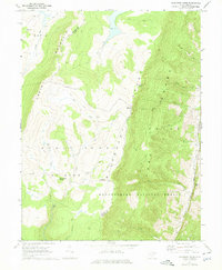
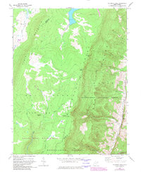
Editions of this 1967 Blackbird Knob Map
3 editions found
Other maps of this area

1892 · Franklin
USGS Topo · 1:125,000

1895 · Piedmont
USGS Topo · 1:125,000

1896 · Franklin
USGS Topo · 1:125,000

1916 · Davis
USGS Topo · 1:48,000

1918 · Davis
USGS Topo · 1:62,500

1919 · Davis
USGS Topo · 1:62,500

1920 · Davis
USGS Topo · 1:48,000

1920 · Petersburg
USGS Topo · 1:48,000

1920 · Onego
USGS Topo · 1:62,500

1921 · Petersburg
USGS Topo · 1:48,000