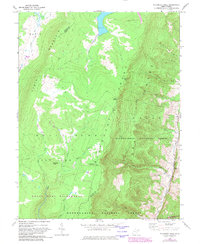
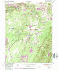
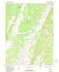
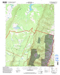
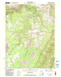
1967 Map of Blackbird Knob
USGS Topo · Published 1982About this map
Davis Mountain and the prominent Allegheny Front define this high-altitude portion of the Monongahela National Forest in the late 1960s. The landscape is characterized by the upland plains of Dolly Sods, where the headwaters of Red Creek and Glade Run originate. This period of the mid-20th century shows the area's transition into a protected recreational landscape, marked by the Dolly Sods Wilderness and the Red Creek Campground. Evidence of earlier resource extraction remains visible through scattered drill holes and a quarry near the Stony River Reservoir. The eastern edge of the quadrangle drops sharply off the front into the Union district, where a few small cemeteries and rural homesites line Jordan Run and Broad Run, contrasting the uninhabited mountain plateaus to the west.
Find a feature on this map
31 named features on this map. Tap any name to fly to it.
Don’t see what you’re looking for? This feature index may not catch every label — zoom into the map to look around manually.
Map Details
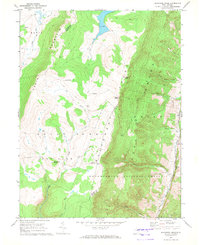
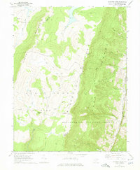
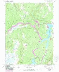
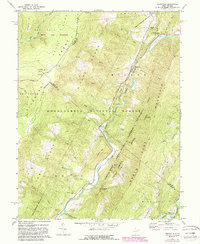
Editions of this 1967 Blackbird Knob Map
3 editions found
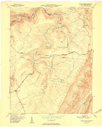
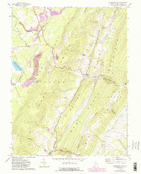
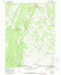
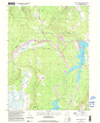
Historical Maps of Jordan Run Through Time
24 maps found
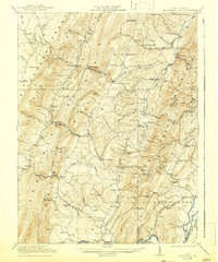
1921 Greenland Gap
Grant County, WV
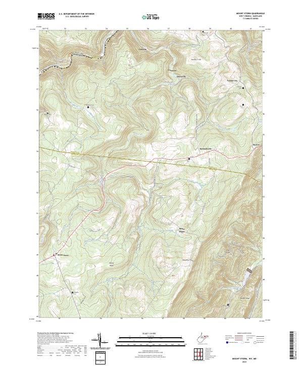
1949 Mount Storm
Grant County, WV
1951 Mount Storm
Grant County, WV
1967 Blackbird Knob
Grant County, WV
1967 Greenland Gap
Grant County, WV
1967 Maysville
Grant County, WV
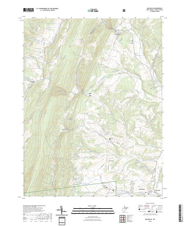
1967 Medley
Grant County, WV
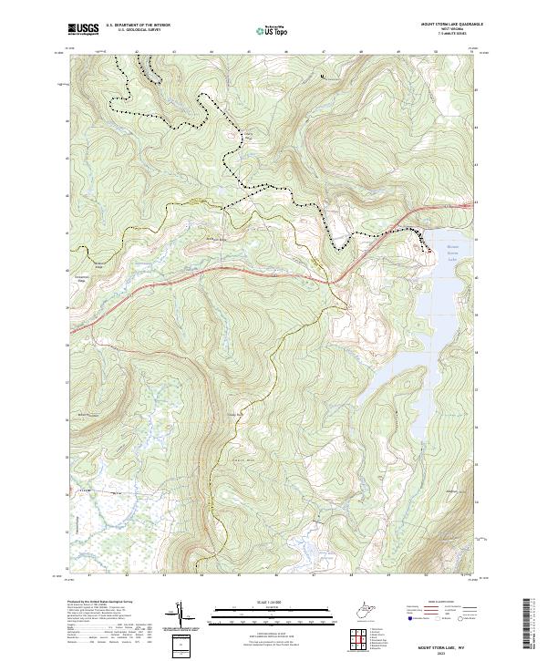
1967 Mount Storm Lake
Grant County, WV
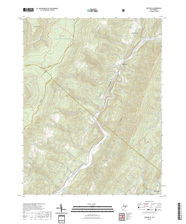
1969 Hopeville
Grant County, WV
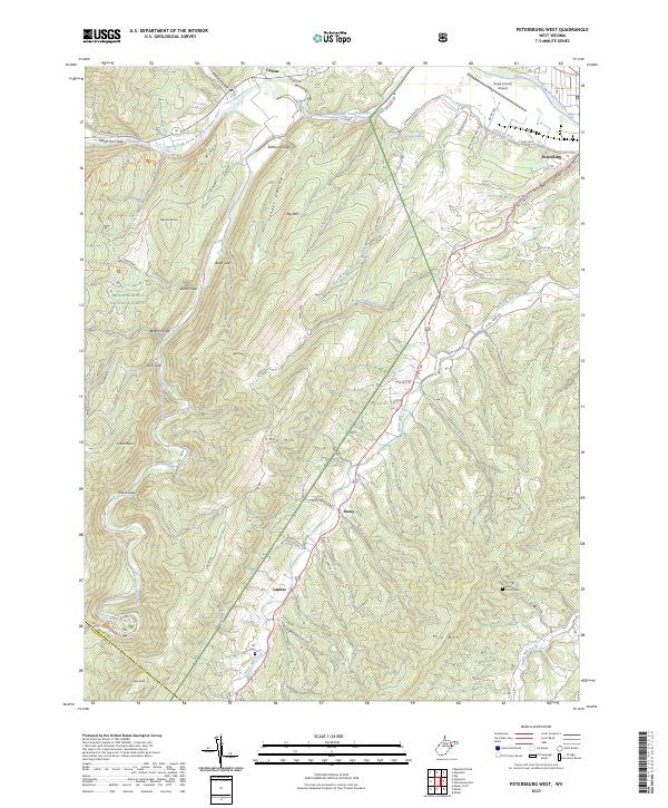
1969 Petersburg West
Grant County, WV
1995 Blackbird Knob
Grant County, WV
1995 Hopeville
Grant County, WV
1995 Maysville
Grant County, WV
1995 Petersburg West
Grant County, WV
1997 Mount Storm
Grant County, WV
1997 Mount Storm Lake
Grant County, WV
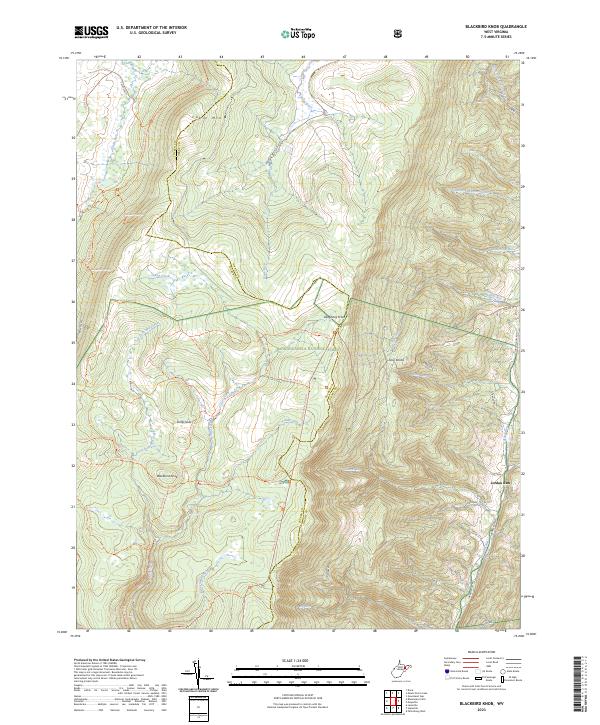
2023 Blackbird Knob
Grant County, WV
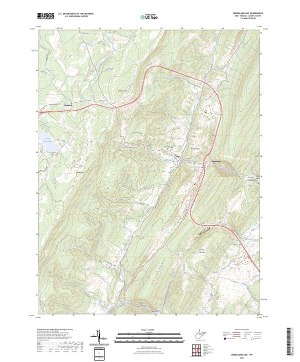
2023 Greenland Gap
Grant County, WV
2023 Hopeville
Grant County, WV
2023 Maysville
Grant County, WV
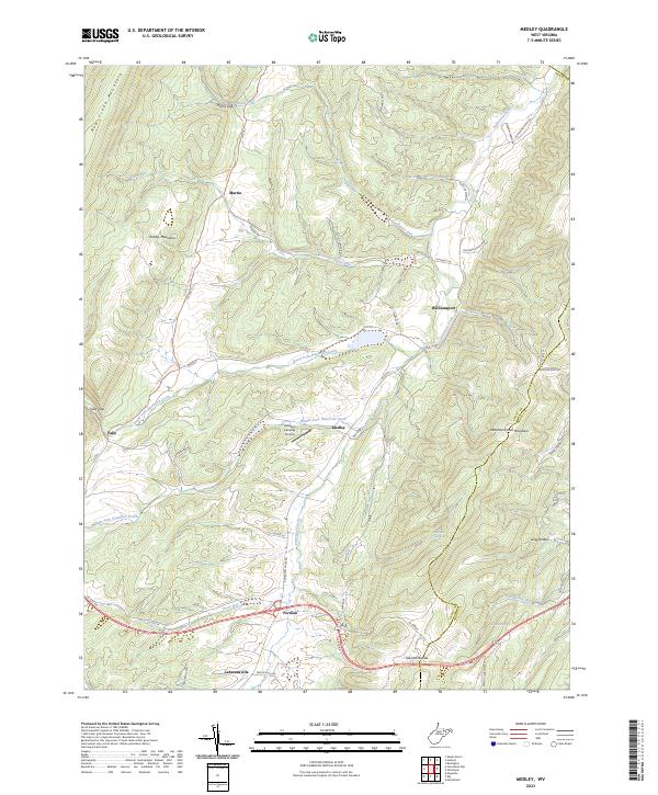
2023 Medley
Grant County, WV
2023 Mount Storm
Grant County, WV
2023 Mount Storm Lake
Grant County, WV
2023 Petersburg West
Grant County, WV